MAP
Survey Map
SP006064
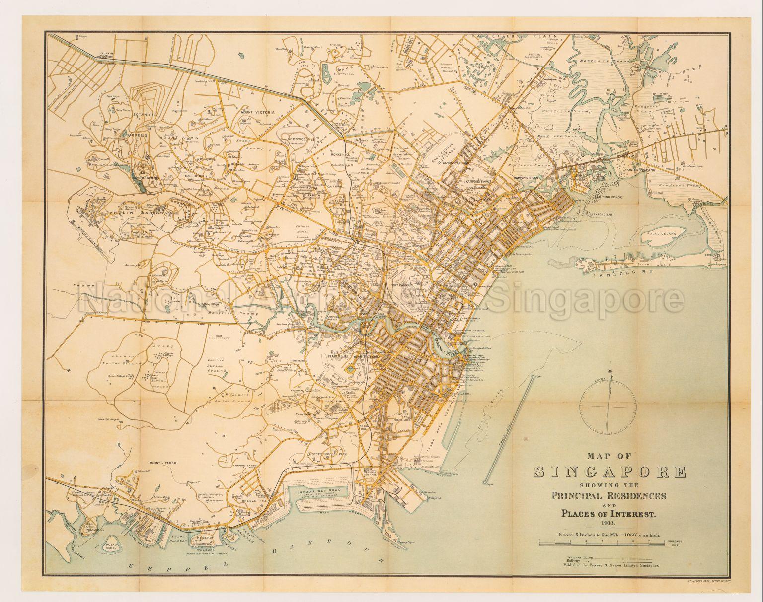
Map Of Singapore Showing The Principal Residences And Places Of Interests
1913
Map shows major roads, railway line, buildings in residential and commercial areas, public buildings in Singapore town centre, Chinese villages, Chinese burial grounds, docks, wharves, mangrove swamp areas, Cluny Road Railway Station, Singapore River, Kalang River, Rochor River, Keppel Harbour, Kampong Rokok, Kampong Laut, Kampong Bugis, Kampong Boyan, Kampong Saigon, Bukit Tunggul, Mount Victoria, Mount Alma, Pearls Hill, Mount Faber, Botanical Gardens, Tanglin Barracks, General Hospital, and others
20120001590 - 0006
SM14
English
Reproduction Map of Singapore first published for Fraser and Neave Limited, Singapore by Stamfords Geographical Establishment, London, 1912.
Limited Edition.
Limited Edition.
Viewing permitted only. No reproduction is allowed.
Processing of requests may require 3-5 working days
