MAP
General Map
GM000421
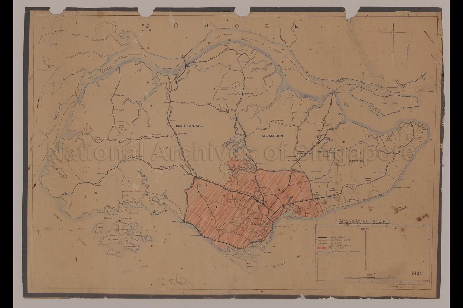
Singapore Island
c.1940
Map shows district boundaries, city area, main districts, main roads, secondary roads, railway line, rivers, reservoirs, Kallang Airport, Tengah Airfield, Sembawang Airfield, Seletar Airfield, Changi Airfield, Malay Settlement, Kampong Loyang, Kampong Damar Darat, Kampong Eunos, Geylang Serai, Kampong Kembangan, Bukit Panjang, Serangoon, Katong, Pulau Ubin, the Southern Islands, Johore Strait, Strait of Malacca, Strait of Singapore, and others
20080000024 - AccNo2434
Survey Department, Singapore
Viewing permitted. Use and reproduction only with permission.
Old accession number: 2434.
Credit line: Singapore Land Authority collection, courtesy of National Archives of Singapore
Credit line: Singapore Land Authority collection, courtesy of National Archives of Singapore
Processing of requests may require 3-5 working days
