MAP
Topographic Map
TM000013
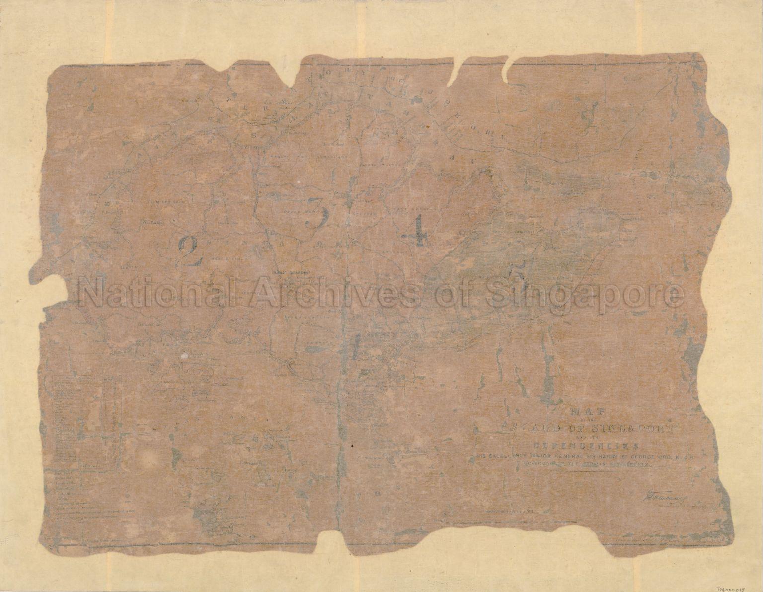
Map of the Island of Singapore and its Dependencies
c1860s-1870s
Published during the time of Colonel Sir Harry St George Ord, Governor, Straits Settlements (1867-1873) and signed by the Surveyor-General, Straits Settlements
This is perhaps the earliest known published map during the colonial period depicting the development of the island’s interior
Shows boundary of the British and Dutch residencies of Singapore and Rhio, Old Strait or Silat Tambrau, Qualla Johore, physical landscape, land use, forests, swamps, pepper and gambier plantations, coconut plantations, villages, rivers, and others
20120001647 - 0010
Surveyor-General, Federated Malay States (F.M.S.) and Straits Settlements (S.S.)
Drawn by Wahid Khan,Surveyor General's Office,Singapore
Edward Stanford Lithographer, London
Drawn by Wahid Khan,Surveyor General's Office,Singapore
Edward Stanford Lithographer, London
Viewing permitted. Use and reproduction only with permission.
Old accession number: 14
Credit line: Singapore Land Authority collection, courtesy of National Archives of Singapore
Credit line: Singapore Land Authority collection, courtesy of National Archives of Singapore
Processing of requests may require 3-5 working days
