MAP
Survey Map
SP006438
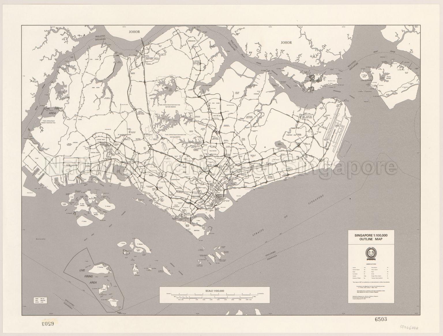
Singapore. Outline Map
1993
Map covers the island of Singapore and its Southern Islands, major road system, expressways, railway, reservoirs, water catchment areas, nature reserves, new towns, hospitals, live firing areas, Changi Airport, Straits of Singapore, Port Limit, Singapore-Indonesia International boundary, Malaysia-Singapore International boundary, the Causeway, and others
20120001622 - 0001
L802 Edition 7 SMU 1992
English
Published by Mapping Unit, Ministry of Defence, Singapore
Viewing permitted. Use and reproduction require written permission from copyright owner.
Seek permission from SLA for use and reproduction.
Old accession number: 6503
Credit line: Singapore Land Authority collection, courtesy of National Archives of Singapore
Old accession number: 6503
Credit line: Singapore Land Authority collection, courtesy of National Archives of Singapore
Processing of requests may require 3-5 working days
