MAP
Survey Map
Singapore. Elections Department
SP006677
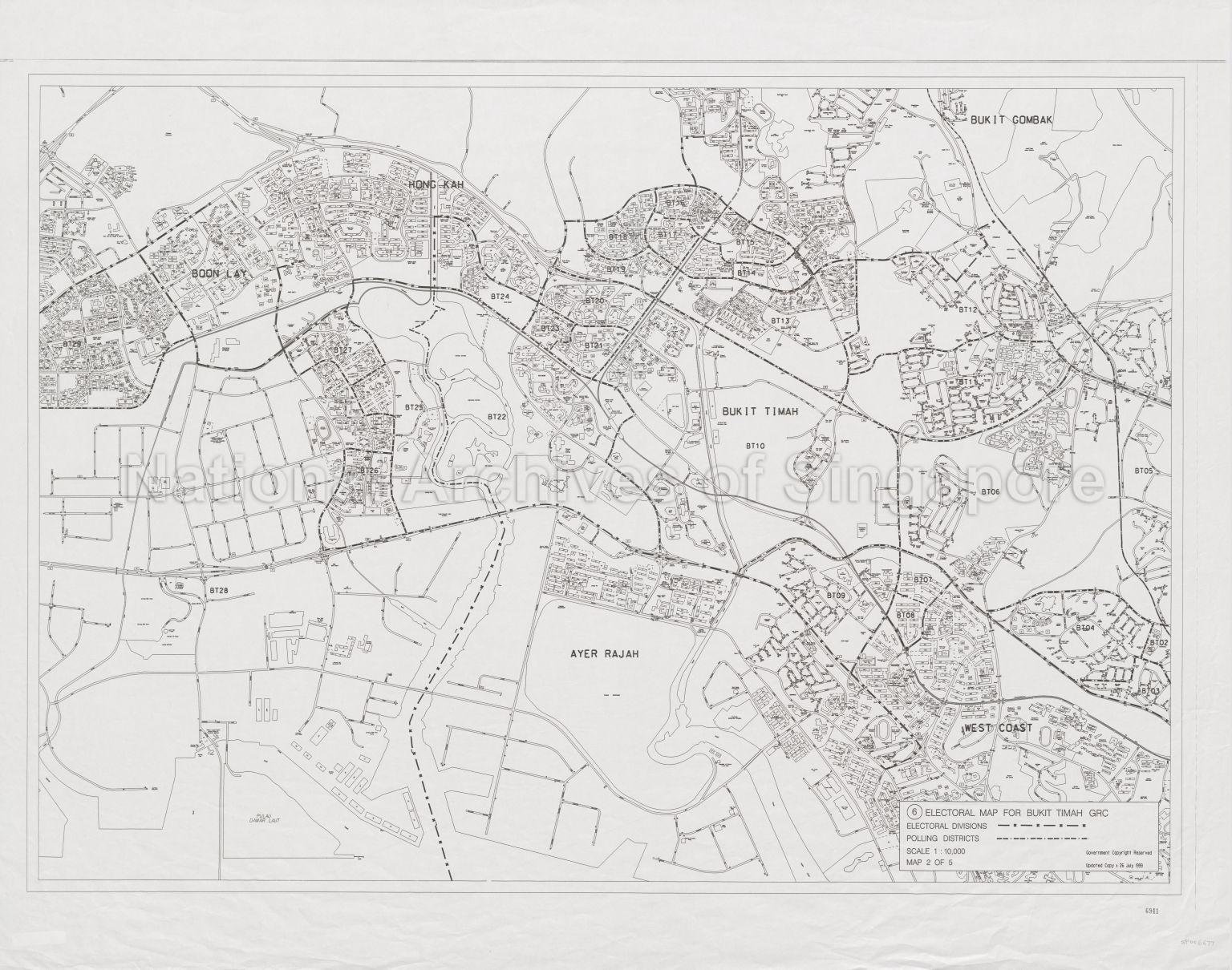
(6) Electoral Map for Bukit Timah Group Representation Constituency (GRC) Map 2 of 5
26/07/1999
(6) Electoral Map for Bukit Timah Group Representation Constituency (GRC) Map 2 of 5
Map covers West Coast, Ayer Rajah, Bukit Timah, Bukit Gombak, Hong Kah, Boon Lay, and Pulau Damar Laut, showing Electoral divisions and polling districts boundaries, buildings, housing estates, schools, community centres, stadiums, Jurong Fish Port, Japanese Garden, Chinese Garden, Bukit Timah Nature Reserve, and others
Map covers West Coast, Ayer Rajah, Bukit Timah, Bukit Gombak, Hong Kah, Boon Lay, and Pulau Damar Laut, showing Electoral divisions and polling districts boundaries, buildings, housing estates, schools, community centres, stadiums, Jurong Fish Port, Japanese Garden, Chinese Garden, Bukit Timah Nature Reserve, and others
20120001638 - 0009
English
Part of a set of 44 maps SP006669 to SP006712
Government Copyright Reserved
Viewing permitted. Use and reproduction require written permission from copyright owner.
Seek permission from Elections Department for reproduction
Processing of requests may require 3-5 working days
