MAP
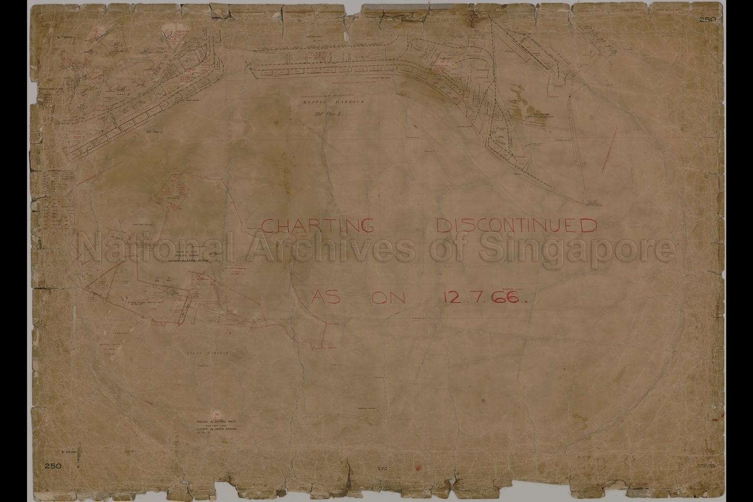
Survey Map
SP005696
Town Subdivision Number XXIII, Telok Blangah Mukim, and Other Islands Mukim
12/07/1966
Subdivision Number XXIII, Telok Blangah Mukim, and Other Islands Mukim
Map shows land division, title boundaries and numbers, Crown land, Crown land War Department, Singapore Harbour Board land, Federated Malay States land, Straits Trading Company land, buildings, godowns, lighters slipway, lighthouse, sunken hulks, coal sheds, basket storage, prohibited places, coolie lines, beacons, tidal basins, wharves, Empire Dock, Victoria Dock, Albert Dock, Telok Ayer Basin, East Lagoon, Singapore Harbour Board railway, Borneo House, The Monastery, Saga Bay Village, Kopiah Village, Keppel Bay, Keppel Road, Kampong Bahru Road, Bushey Park, Nelson Road, East Reclamation Road, Trafalgar Street, and surroundings
Map was originally produced in 1935, additional markings in pencil and red ink were added on in later years and the last amendments were in 1966
20080000464 - AccNo5037
SD127
250. S.D.S.1514/1932
Survey Department, Singapore
Map was originally produced in 1935, additional markings in pencil and red ink were added on in later years and the last amendments were in 1966
Map was originally produced in 1935, additional markings in pencil and red ink were added on in later years and the last amendments were in 1966
Viewing permitted. Use and reproduction require written permission from copyright owner.
Seek permission from SLA for use and reproduction.
Old accession number: 5037
Credit line: Singapore Land Authority collection, courtesy of National Archives of Singapore
Old accession number: 5037
Credit line: Singapore Land Authority collection, courtesy of National Archives of Singapore
Processing of requests may require 3-5 working days
