MAP
General Map
GM000437
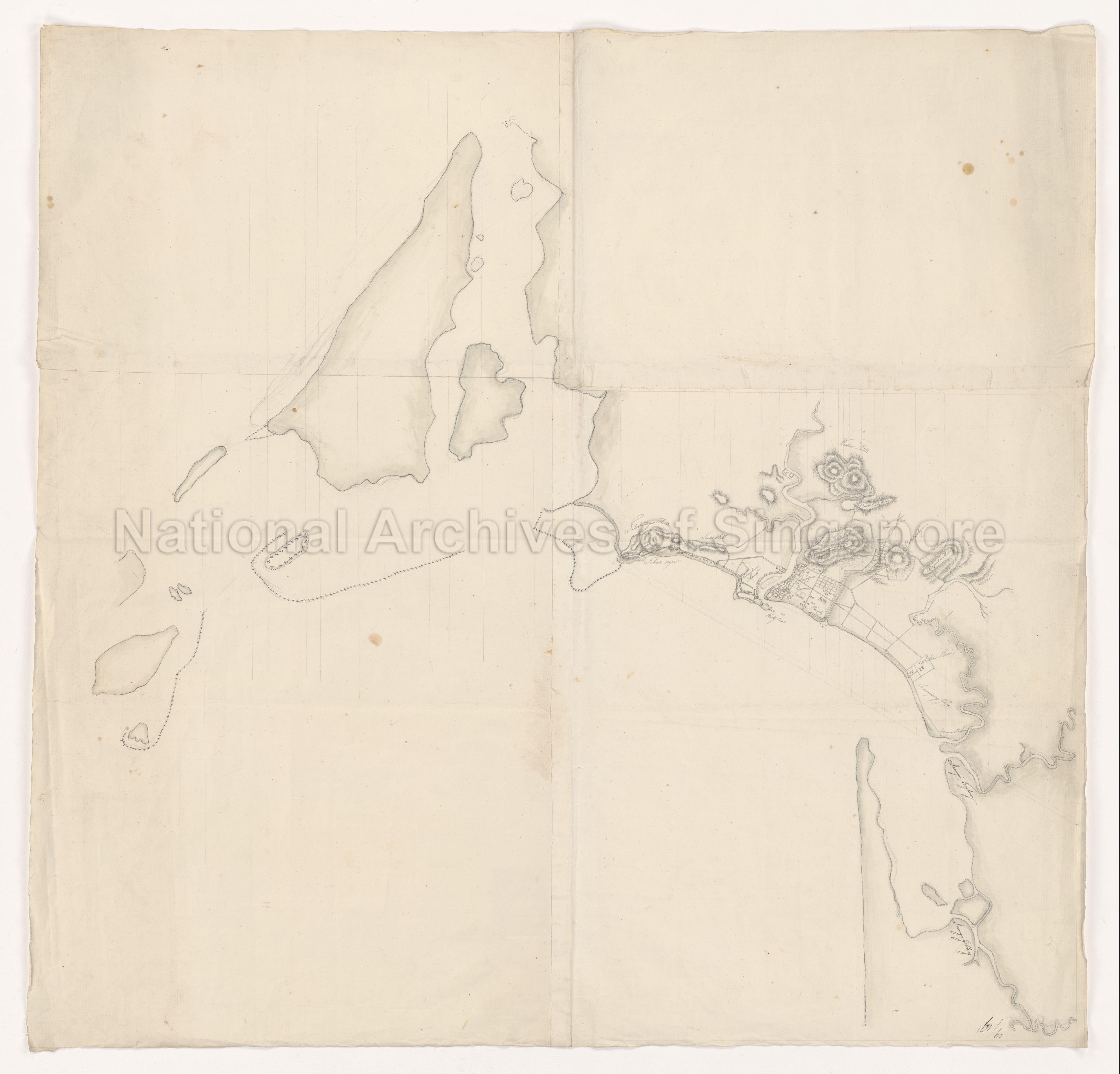
Map of Singapore and Environment (draft)
c.1820s
(REPRODUCTION RESTRICTED)
Dutch Map. Map of Singapore and Environment (draft). "160/60".
Map shows part of physical features and land use in and around old central Singapore town, Singapore River, and areas along Rochor River, and the old harbour and Telok Ayer Basin, possibly dated in the early 1820s (likely 1820-1822). Featured on map are Tilook Ayer, Tilook Ayer Hills, Scotts Hill, Weston Hills, Bukit Petuka Pasing, Campong China, Rocky Point, Singapore Hills, Bukit Selegie, Farquehar Hills, Sultan's House, Campong Glam, Soongai Rochore, Soongai Keylang, Soongai Gellang and Singapore Cantonment.
20100000294 - 0001_NL-HaNA_4.VTH_126
VELH126
Application for use (and request for copies) has to be made directly with copyright owner or source.
Any request for use or reproduction of the map, please contact info@nationaalarchief.nl.
Processing of requests may require 3-5 working days
