MAP
Survey Map
SP004421_1
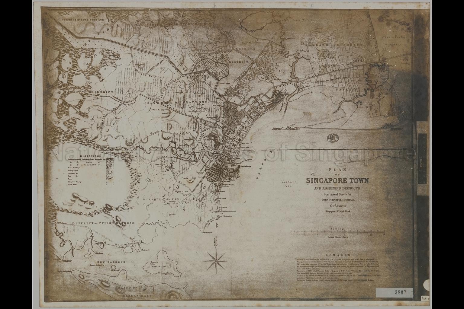
Plan of Singapore Town and Adjoining Districts from Actual Survey by John Turnbull Thomson, Governor Surveyor
03/04/1844
This map shows the demarcation and development of Singapore town and land use of its adjoining districts. This is the most detailed map of Singapore’s town of the time that is known (two editions 1844 and 1846
Map shows district boundaries, physical landscape, land use, public buildings, types of buildings, villages, nutmeg trees, pepper and gambier plantations, sugar plantations, coconut trees, fruit trees, vegetable gardens, forest, water mill, swamps, coral reefs, Chinese burial grounds, mosques, tombs of Malayan Princes, Bugis Village, Tanjong Pagar Village, Joss House, Temenggong's residence, Residence of the Sultan of Johore, Mount Palmer, Mount Wallich, Mount Erskine, Scotts Hill, Fort Fullerton, Singapore River, Kallang River, Geylang River, Rochor River, Toa Payoh (Toah Pyoh), Rochore, Kallang, Paya Lebar (Pyah Laebar), Siglap, Geylang (Gaylang), Tanglin, Claymore, Tanjong Pagar, Telok Blangah (Tulluh Blangan) and others
Map shows district boundaries, physical landscape, land use, public buildings, types of buildings, villages, nutmeg trees, pepper and gambier plantations, sugar plantations, coconut trees, fruit trees, vegetable gardens, forest, water mill, swamps, coral reefs, Chinese burial grounds, mosques, tombs of Malayan Princes, Bugis Village, Tanjong Pagar Village, Joss House, Temenggong's residence, Residence of the Sultan of Johore, Mount Palmer, Mount Wallich, Mount Erskine, Scotts Hill, Fort Fullerton, Singapore River, Kallang River, Geylang River, Rochor River, Toa Payoh (Toah Pyoh), Rochore, Kallang, Paya Lebar (Pyah Laebar), Siglap, Geylang (Gaylang), Tanglin, Claymore, Tanjong Pagar, Telok Blangah (Tulluh Blangan) and others
20080000141 - AccNo3807a
NA1417
MA0007
Surveyed by J. T. (John Turnbull) Thomson, Government Surveyor, Straits Settlements
Viewing permitted. Use and reproduction only with permission.
Processing of requests may require 3-5 working days
