MAP
Topographic Map
TM000878
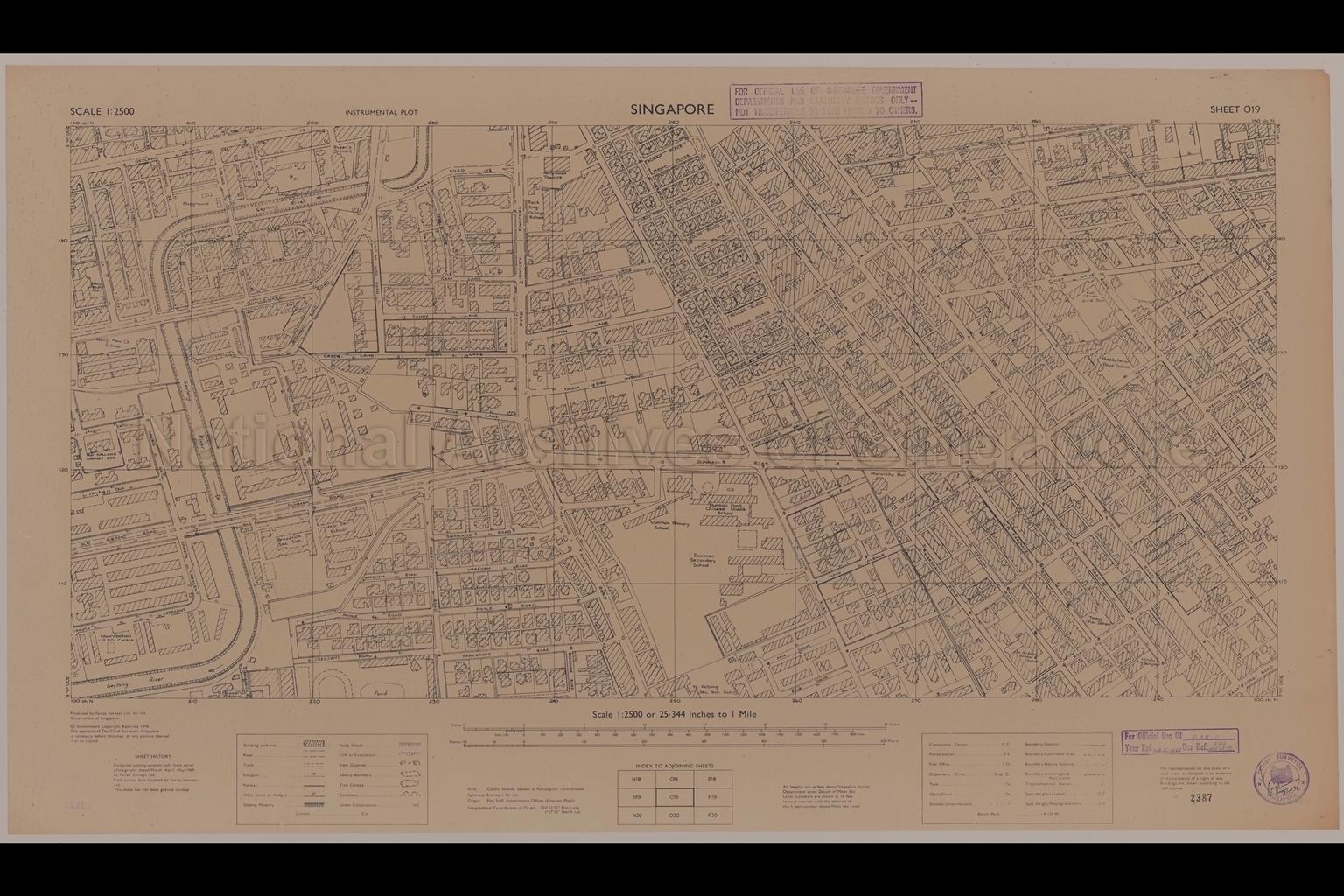
Singapore. Instrumental Plot - Geylang and Katong
1970
Map shows buildings, housing estates, bungalows, clinic, ponds, church, mosque, Hindu temple, Marantha Hall, Queen's Theatre, Hollywood Theatre, Maha Bodhi School, Broadrick Secondary School, Dunman Government Chinese Middle School, Tanjong Katong Secondary Technical School, Saint Hilda's School and Church, Toong Chai School, Presbyterian Boys' School, Kuo Chuan Girls' School, Yock Eng Chinese High School, Siang Lim Park, Old Kallang Airport Estate, Geylang River, Geylang Road, Guillemard Road, Green Lane, Dunman Road, Crescent Road, Tanjong Katong Road, Haig Road, Ceylon Road, Carpmael Road, Onan Road, Joo Chiat Road, Everitt Road, Mangis Road, and others
20080000023 - AccNo2387
Sheet O19 NAC14/68 SDS446/68/ PT1
Produced by Fairey Surveys Ltd for the Government of Singapore.
Viewing permitted. Use and reproduction require written permission from copyright owner.
Seek permission from SLA for use and reproduction.
Old accession number: 2387
Credit line: Singapore Land Authority collection, courtesy of National Archives of Singapore
Old accession number: 2387
Credit line: Singapore Land Authority collection, courtesy of National Archives of Singapore
Processing of requests may require 3-5 working days
