MAP
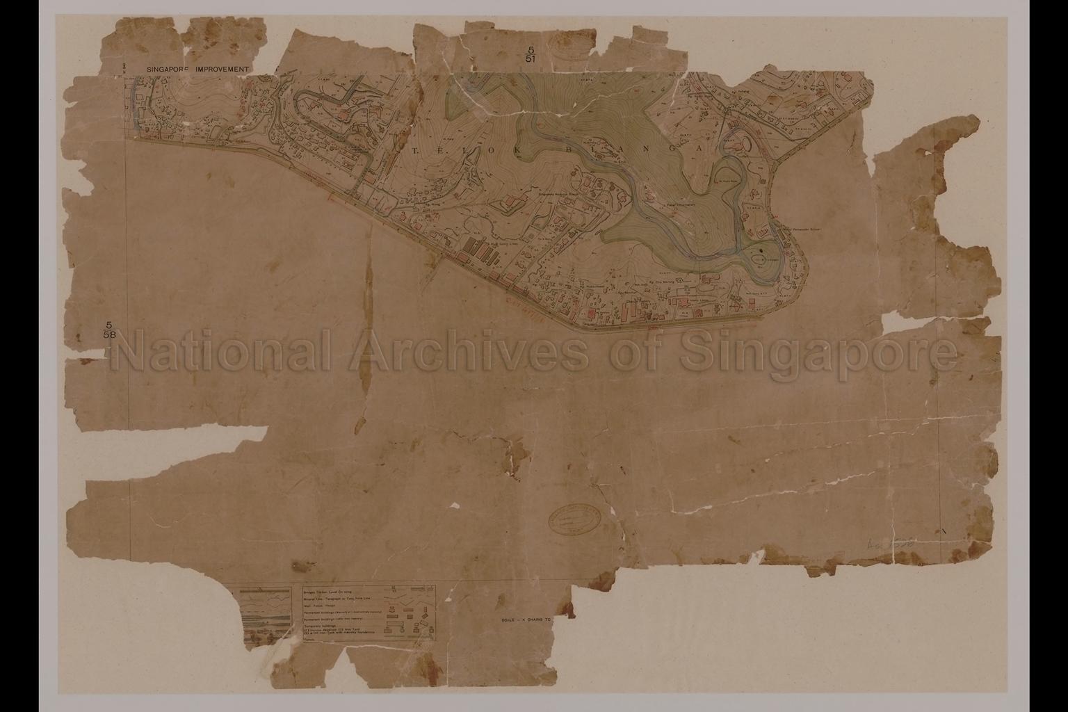
Survey Map
SP002660
Singapore Improvement Trust - Telok Blangah
1931
Map covers Telok Blangah showing physical landscape, land use, vegetation, open spaces, buildings, bungalows, vegetable gardens, rubber trees, fruit trees, guava trees, coconut trees, blukar, jungles, coolie lines, mosque, Chandu factory, Chinese Cemetery, Royal Malay Cemetery, Mohamed Cemeteries, Kampong Jogoh, Kampong Nong, Kampong Ulu, Kampong Nakkudawal, Kampong Panchor, Kampong Pahang, Kampong Che Marang, Bukit Radin Mas, Bukit Pirmata, Bukit Timbongan, Bukit Bendira, Malay Vernacular School, E.E.A.and G. Telegraph, Singapore Harbour Board Cooly Lines, Singapore Harbour Board, Istana Lama, Faber Observatory, Sungei Chermin, Sungei Pahang, Telok Blangah Road, Morse Road, Recorder Road, Seah Im Road, and others
20050000914 - 0037
NA1412
English
Survey Department, Singapore, Surveyor-General, Federated Malay States (F.M.S.) and Straits Settlements (S.S.)
Viewing permitted. Use and reproduction only with permission.
Old accession number: 1526.
Credit line: Singapore Land Authority collection, courtesy of National Archives of Singapore
Credit line: Singapore Land Authority collection, courtesy of National Archives of Singapore
Processing of requests may require 3-5 working days
