MAP
Survey Map
SP001622
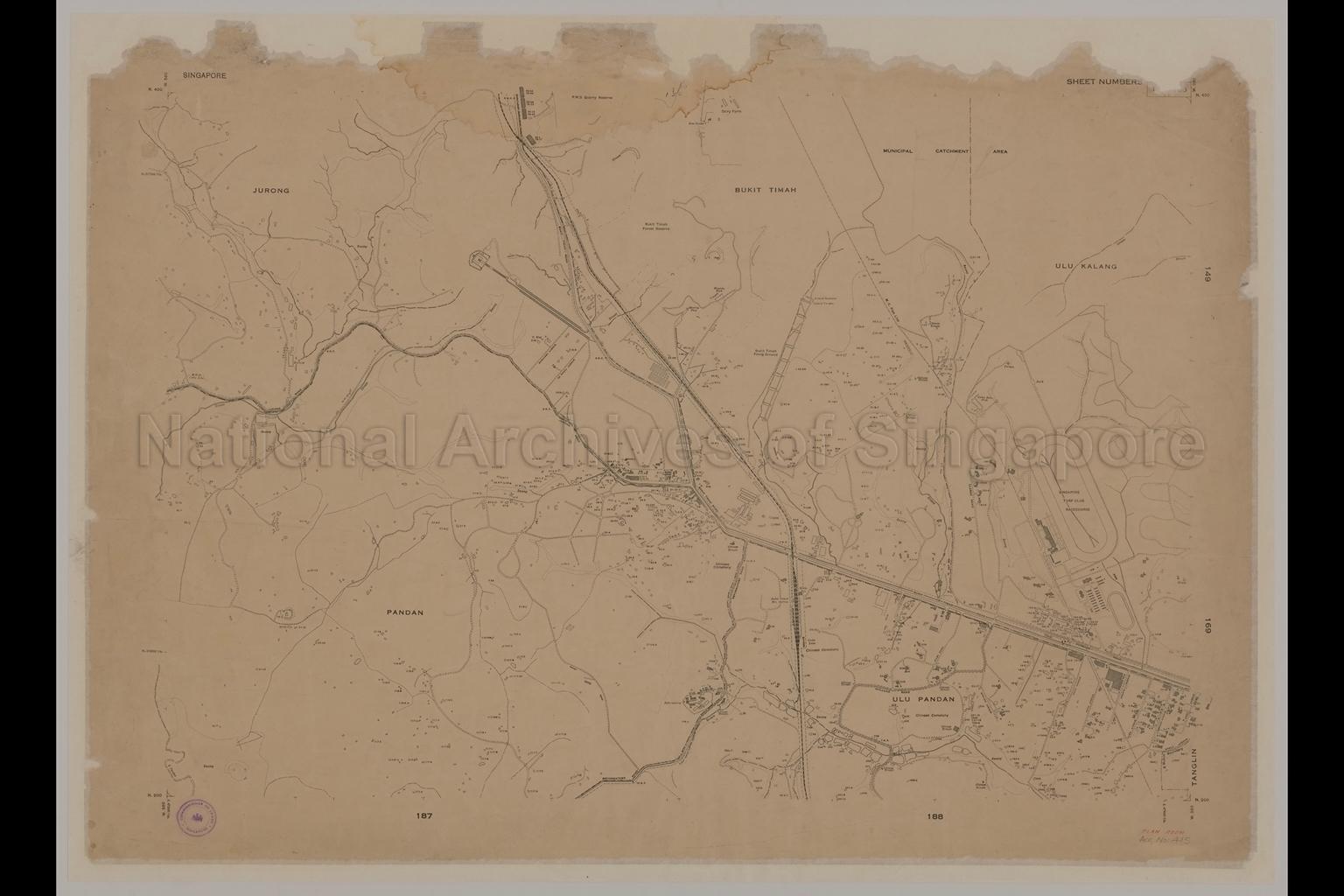
Map of Singapore Showing Jurong, Bukit Timah, Tanglin, Ulu Pandan and Pandan area
1938-1943
Map covers Jurong, Bukit Timah, Ulu Kalang, Ulu Pandan, and Pandan Mukims showing mukim boundaries, buildings, house numbers, factory, railway, roads, tracks, footpaths, streams, canal, swamps, ponds, Chinese temples, Chinese cemeteries, reformatory, dairy farm, granite face, quarry face, Public Works Department (P.W.D.) quarry reserve, municipal catchment area, Municipal Council (M.C.) pipeline, Bukit Timah Forest Reserve, Bukit Timah Railway Station, Bukit Timah Firing Ground, Swiss Rifle Club, Singapore Turf Club racecourse, Jurong Road, Bukit Timah Road, Reformatory (Clementi) Road, Dunearn Road, First Avenue, Second Avenue, Third Avenue, Fourth Avenue, Fifth Avenue, Sixth Avenue, Garlick Avenue, Wilby Road, Holland Road, Margaret Avenue, De Souza Avenue and others
20050000692 - 0032
147/148/167/168
English
Commissioner of Lands, Singapore
Date is estimated.
Title of map isgiven by NAS.
Date is estimated.
Title of map isgiven by NAS.
Viewing permitted. Use and reproduction only with permission.
Old accession number: 415.
Credit line: Singapore Land Authority collection, courtesy of National Archives of Singapore
Credit line: Singapore Land Authority collection, courtesy of National Archives of Singapore
Processing of requests may require 3-5 working days
