MAP
Hydrographic Chart
HC000294
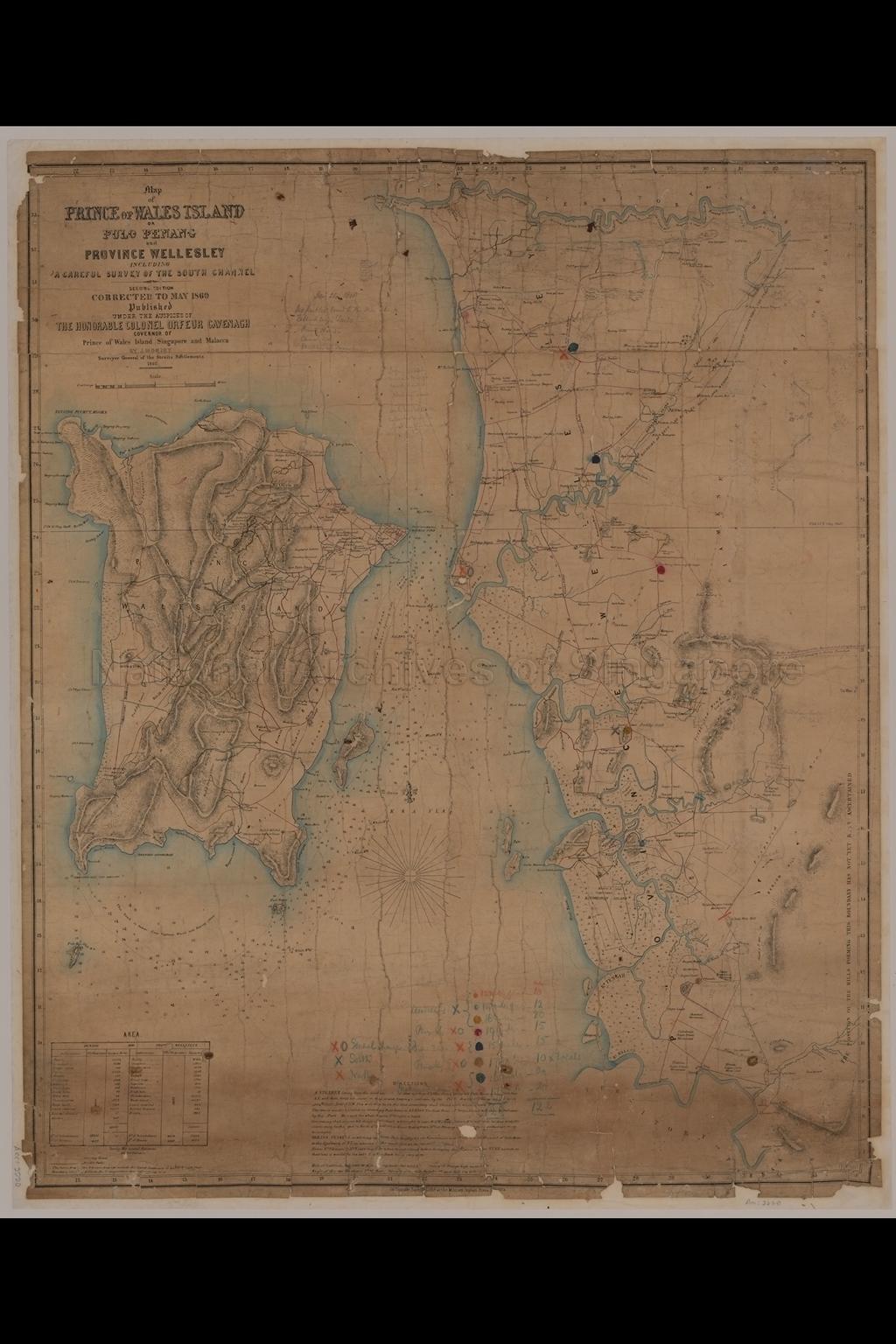
Map of Prince of Wales Island, or Pulo Penang and Province Wellesley including a Careful Survey of the South Channel
1860
Map covers Penang Island and Province Wellesley, showing physical landscape, vegetation, rivers, roads, villages, names of places, islands, mangrove swamps, sugar estates, spice plantation, rice fields, mud bank, sand bank, nautical chart, beacons, and others
20080000021 - AccNo2220
Published under the auspices of the Honorable Colonel Orfeur Cavenagh Governor of Prince of Wales Island Singapore and Malacca
By J. Moniot Surveyor General of the Straits Settlements
By J. Moniot Surveyor General of the Straits Settlements
Viewing permitted. Use and reproduction only with permission.
Old accession number: 2220
Credit line: Singapore Land Authority collection, courtesy of National Archives of Singapore
Credit line: Singapore Land Authority collection, courtesy of National Archives of Singapore
Processing of requests may require 3-5 working days
