MAP
Survey Map
SP000108
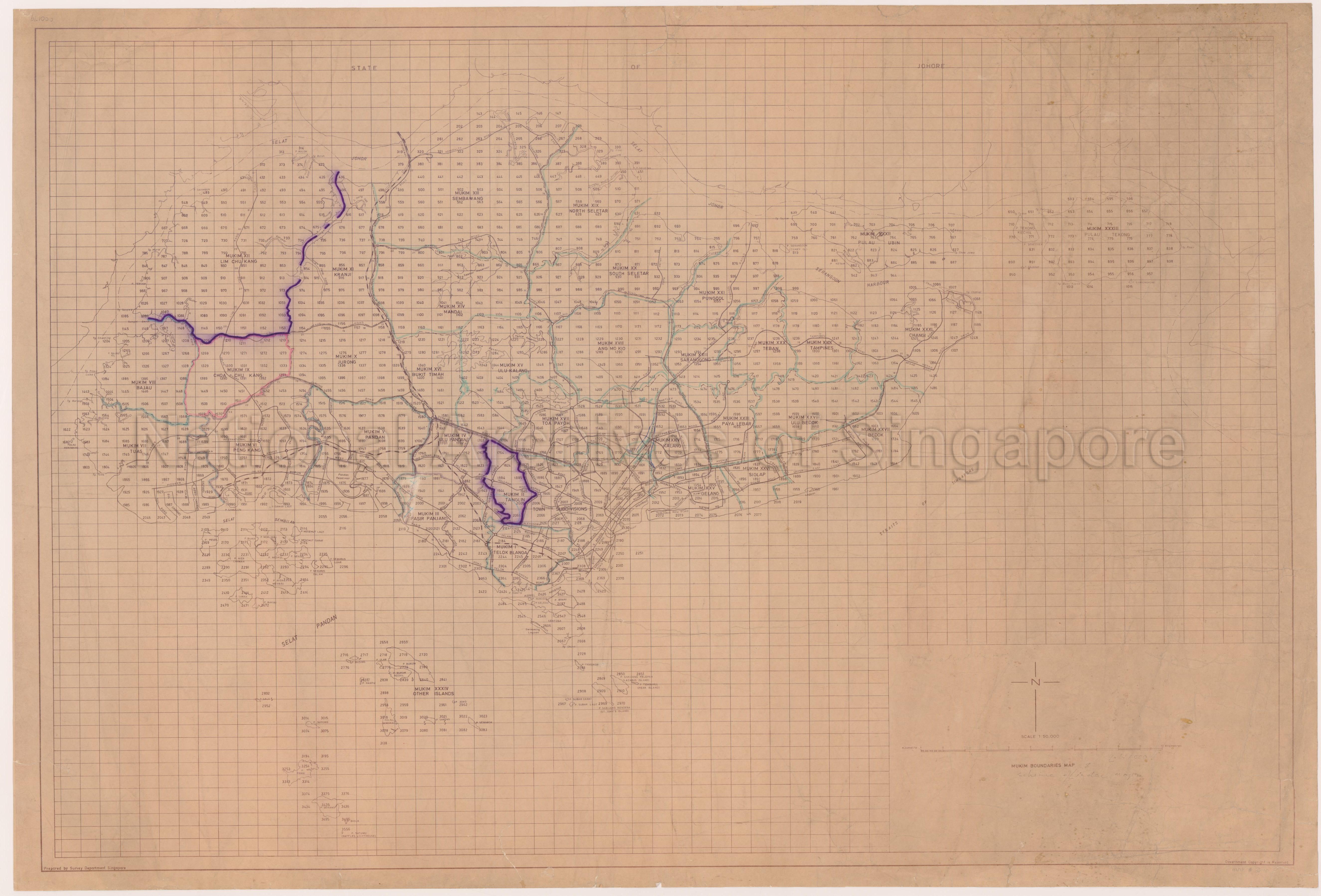
Mukim Boundaries Map (Key Map of Singapore Metric Map Sheets)
c.1970
Map shows mukim boundaries, mukim numbers and mukim names of the whole of Singapore Island, area under town subdivisions, main roads and their names, railways, rivers and their names, reservoirs and their names, Pulau Tekong, Pulau Ubin, Sentosa, Pulau Brani, Pulau Bukum (Bukom), Pulau Ayer Chawan and other smaller off-shore islands, Singapore/Malaysia international boundary, coastline of the State of Johore, Selat Johor and others. Superimposed on the map are map sheet lines and relevant map sheet numbers for Singapore in the metric system.
20050000976 - 0028_SP000108_000179-SP
Map # 10
English
Prepared by Survey Department Singapore
Government Copyright is reserved.
Dates are estimated
Government Copyright is reserved.
Dates are estimated
Viewing permitted. Use and reproduction require written permission from copyright owner.
Seek permission from SLA for use and reproduction.
Old accession number: 250
Credit line: Singapore Land Authority collection, courtesy of National Archives of Singapore
Old accession number: 250
Credit line: Singapore Land Authority collection, courtesy of National Archives of Singapore
Processing of requests may require 3-5 working days
