MAP
Survey Map
SP000037
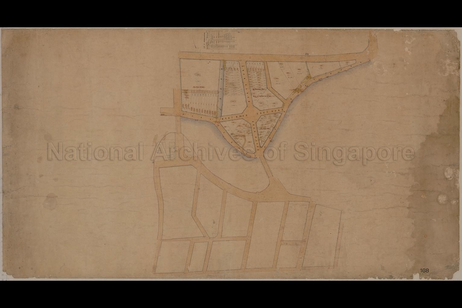
Land Divisions at Clarke Quay and North Boat Quay
c.1870-1890
Plan shows lots under lease status, road reserves, drains, creek, West and East Roads (Clarke Street), North and South Roads (Read Street), unlabelled roads like River Valley Road and Canning Lane, and those south of Singapore River (unlabelled) like Boat Quay, Havelock Road, Magazine Road, Fisher Street, Angus Street, Cumming Street, Keng Cheow Street and Market Street, unlabelled Ord Bridge and Read Bridge, a table showing a list of encroachments with areas, and others
20050000975 - 178_000107_SP
168
English
Survey Department, Singapore, Straits Settlement
Title of map given by NAS
Title of map given by NAS
Viewing permitted. Use and reproduction only with permission.
Credit line: Singapore Land Authority collection, courtesy of National Archives of Singapore
Processing of requests may require 3-5 working days
